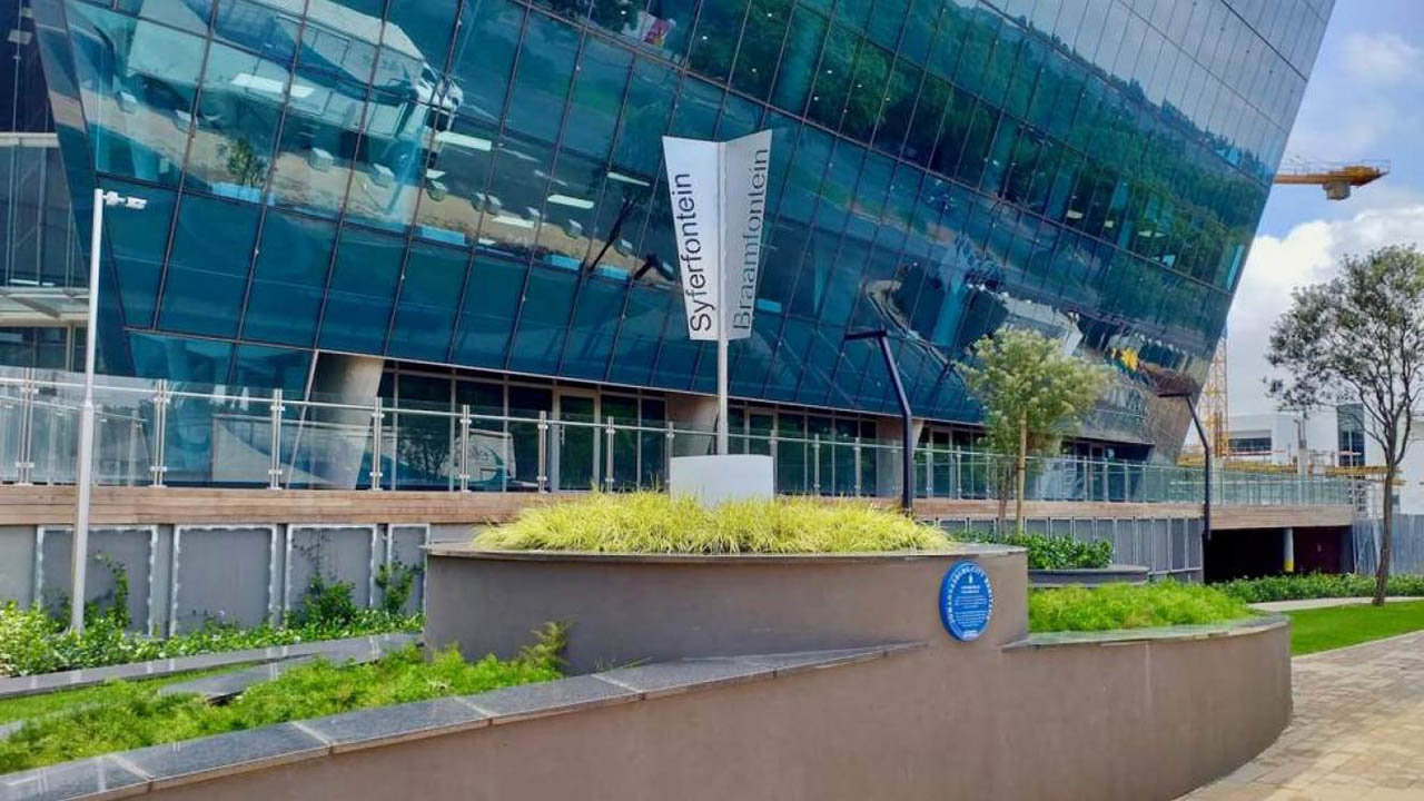
Rosebank was formally registered on 13 October 1896, when Portion 20 of the Farm Braamfontein was subdivided into 174 erven. Established as Johannesburg expanded northwards, it began as a residential settlement beyond the city’s original centre. Its transformation can be traced through the streets and places that shaped everyday life: early transport routes, schools and religious institutions, shops and hotels, public services, markets and, later, major commercial developments. Oxford Road became a key urban corridor, while Tyrwhitt Avenue and Cradock Avenue developed distinctive roles in the neighbourhood’s shopping and pedestrian life. Today, Rosebank is a connected, mixed-use neighbourhood where business, residential life, culture, hospitality, shopping and public transport meet. Its built heritage and urban layout provide a record of more than a century of change, while new developments continue to shape its future. Explore the milestones, landmarks and streets that tell Rosebank’s story, and discover how the neighbourhood continues to evolve.
Rosebank Through the Years
From early residential plots to a metropolitan urban centre, these milestones trace the decisions, buildings and connections that shaped Rosebank. Dates and descriptions below are drawn from the existing historical material and remain subject to the final checks listed at the end of this document.
1890–1919 | A neighbourhood takes shape
1890
Eduard Lippert acquires land on the Farm Braamfontein.
13 October 1896
Rosebank is formally registered following the subdivision of Portion 20 into 174 erven.
1898
Rosebank appears on early maps of Johannesburg.
Early 1900s
Sogot’s Corner becomes a recognisable commercial landmark near the tram terminus at Oxford Road and Tyrwhitt Avenue.
1906
Rosebank Government School opens in Keyes Avenue with 30 learners.
1906
Rosebank Primary School opens in Keyes Avenue.
1909
The school moves to a brick building in Cradock Avenue.
1919
Several streets are renamed in honour of British naval admirals.
1920–1949 | Institutions and landmarks
1924
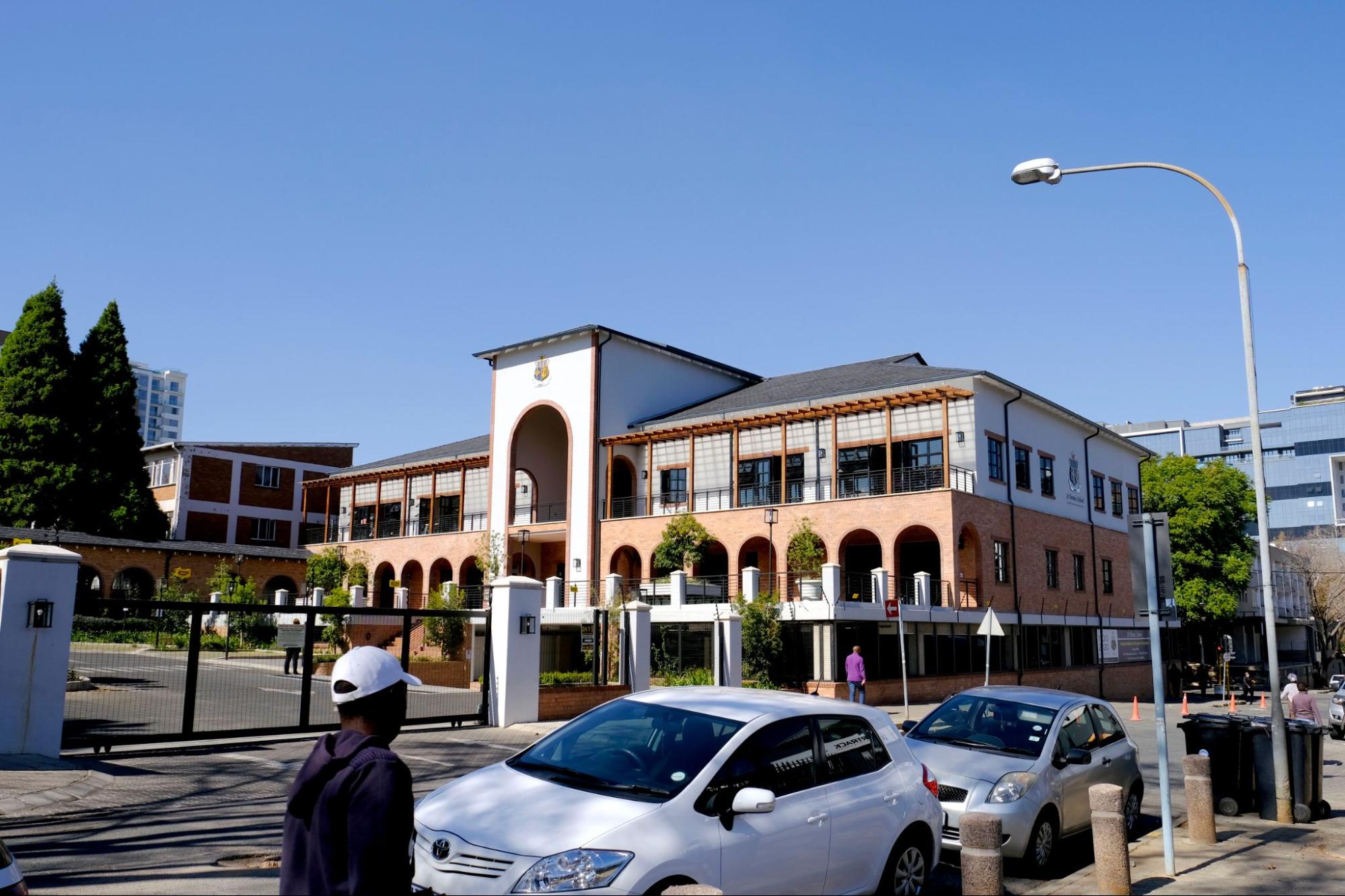
The original Rosebank Hotel opens and the Rosebank Telephone Exchange is established.
1930
Rosebank Convent, later St Teresa’s School, is founded.
1930s
The Telephone Exchange expands; street planting helps shape Tyrwhitt Avenue.
1936
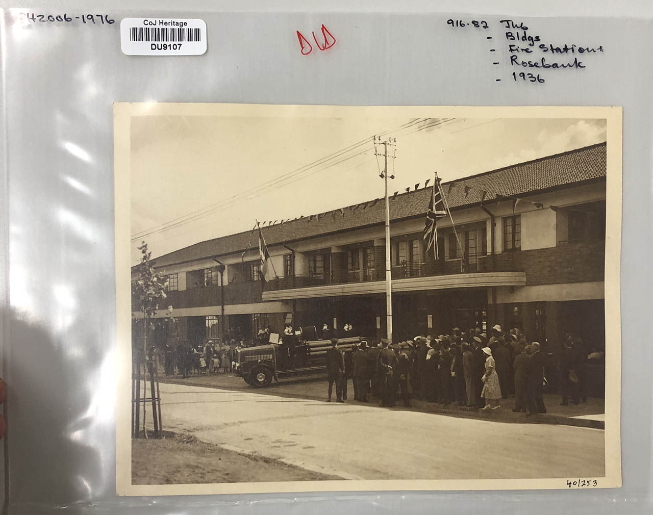
Rosebank Fire Station opens, according to the district timeline.
1947
Broadlands is designed by L. Filipek with decorative glasswork by René Shapshak; Thrupps relocates to Rosebank.
1950–1979 | Planning an urban centre
1960
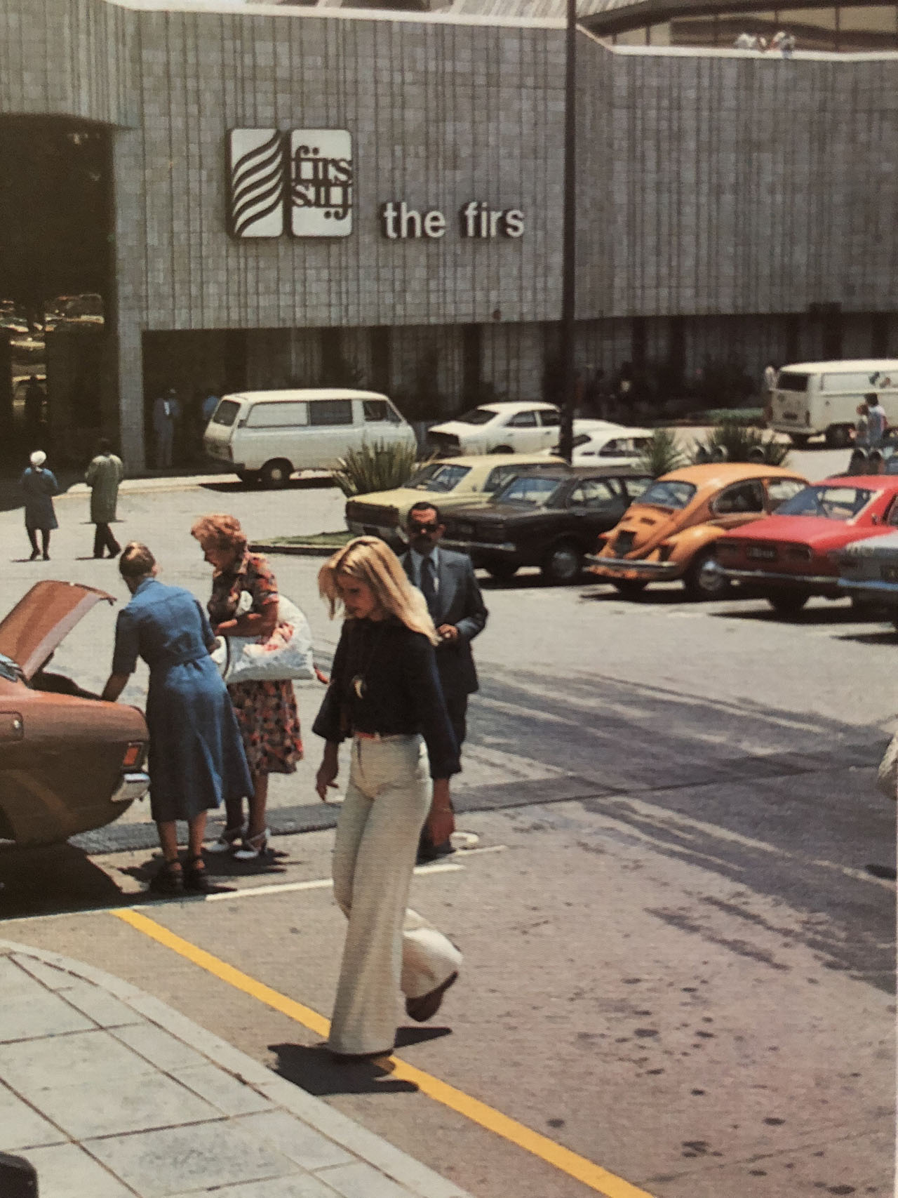
A land-use application marks an early stage in the development of the property later associated with The Firs.
1970
Commercial rezoning activity increases; Max Kirchoffer is appointed to prepare a plan for eastern Rosebank.
1971
Council approves the Rosebank Centre Redevelopment: Eastern Development.
1972
Rosebank Primary School is rebuilt at its present site.
1973
The original Rosebank Hotel is demolished and replaced.
1975–1976
Biermann Avenue is developed as part of the changing road network.
1978
Part of Tyrwhitt Avenue becomes a pedestrian-only shopping street.
1980–1999 | Markets and commercial growth
1986
The City resolves to close part of Cradock Avenue.
1991
Cradock Avenue develops as an African curio trading area.
1992
Development controls are introduced for the Rosebank Box.
1995
The Zone and Hyatt Regency developments mark a new period of investment.
1996
A purpose-built African Curio Market accommodates traders.
1998
Rosebank taxi rank is developed; the Rosebank Management District is established.
2000–2019 | A connected district
2007
The Lower Rosebank Management District is established.
2008
The Rosebank Urban Development Framework supports higher-density development.
2 August 2011
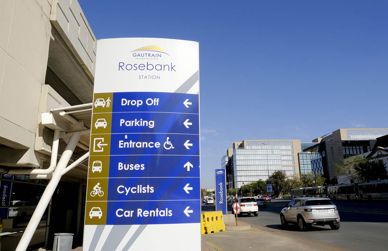
Rosebank Gautrain Station opens to passengers.
2012
The Gautrain connection between Rosebank and Park Station opens.
2013
Standard Bank opens its Rosebank headquarters.
2017
Development of Oxford Parks begins.
2019
The wider Rosebank area is identified as a Metropolitan Node in the City’s Nodal Review Policy.
2020–2026 | Still making history
2020s
Continued investment in mixed-use development, public spaces, pedestrian links and precinct management.
13 October 2026
Rosebank marks 130 years since its formal registration.
Heritage Landmarks | Rosebank’s Blue Plaques
Rosebank’s Blue Plaques identify places that illuminate its architectural, civic and urban history. The four landmarks below offer a starting point for exploring the neighbourhood’s past through the buildings and markers that remain visible today.
Oxford Road Trig Beacon
Location | 114 Oxford Road
The Oxford Road Trig Beacon recalls the farm boundaries and surveying work that preceded modern Rosebank. Its survey marker dates to 1928 and replaced an earlier stone cairn associated with nineteenth-century property boundaries. The corridor later evolved from a boundary and track into Oxford Road, one of the neighbourhood’s defining routes.
Why it matters | The marker makes visible a much older landscape beneath today’s busy road network.
Oxford Road Trig Beacon. Image supplied by Heritage Portal
Rosebank Telephone Exchange / former Monarch Hotel
Location | 167 Oxford Road
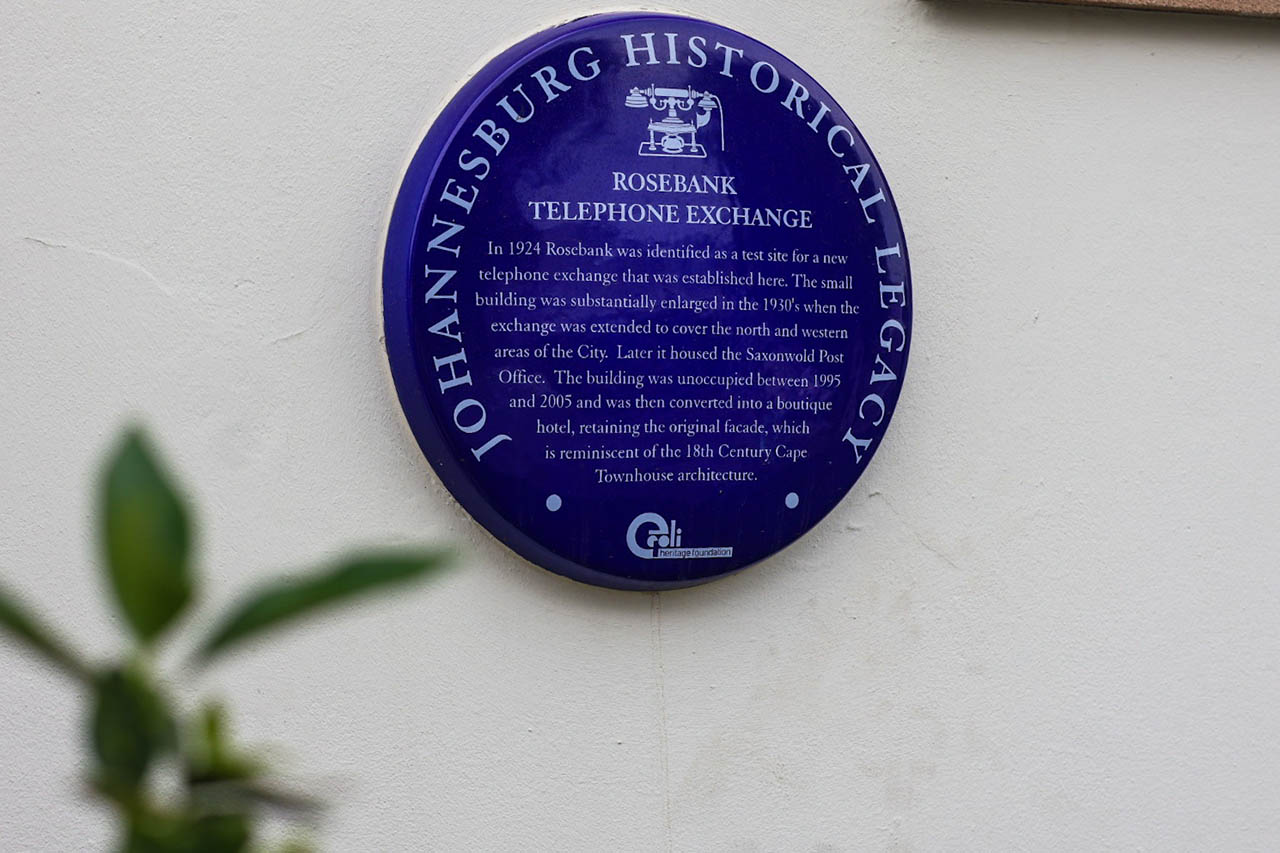
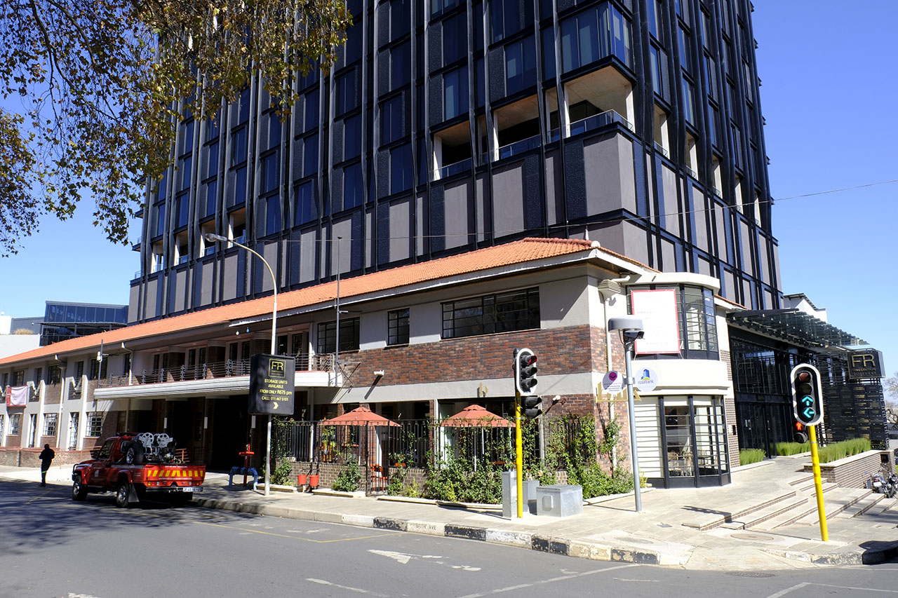
Established in 1924, the Telephone Exchange supported Johannesburg’s expanding communications network. Enlarged in the 1930s, the premises later housed the Saxonwold Post Office. After a period of vacancy, the building was adapted for hospitality use while retaining significant features of its historic façade.
Why it matters | The building shows how essential infrastructure can acquire new uses without losing its place in the streetscape.
The Monarch Hotel (Previously the Rosebank Telephone Exchange). Image supplied by the Rosebank Management District
Rosebank Fire Station
Location | Baker Street, Rosebank
The Rosebank Fire Station was established during the 1930s as civic services expanded into Johannesburg’s northern suburbs. Its distinctive architecture made it a familiar local landmark, and its subsequent uses illustrate the adaptability of historic public buildings.
Why it matters | The station records an era when Rosebank’s growing community required dedicated public infrastructure.
Rosebank Firestation. Image supplied by the Rosebank Management District
Broadlands
Location | 54 Tyrwhitt Avenue (plaque record; address to confirm)
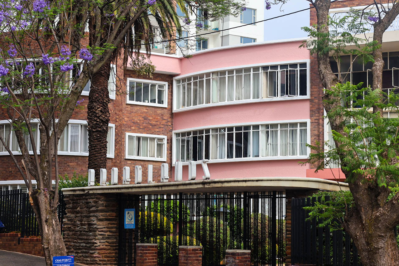
Designed in 1947 by architect L. Filipek, Broadlands is associated with subtropical Art Deco architecture. Its curved forms, entrance composition and decorative sandblasted glasswork by René Shapshak distinguish it within Rosebank’s mid-century built environment.
Why it matters | Broadlands captures a period of architectural experimentation and craftsmanship in the neighbourhood.
Broadlands, Rosebank. Image by the Rosebank Management District
Rosebank Through the Years
Rosebank’s history is also written into its streets, transport connections, buildings and places of commerce. These overlapping stories explain how a residential suburb became a walkable, mixed-use urban district.
The streets that shaped Rosebank
Oxford Road | A route with roots in early farm boundaries and tracks, Oxford Road developed into one of the principal corridors linking Rosebank to the wider city. The Trig Beacon preserves a visible reminder of this earlier landscape.
Tyrwhitt Avenue | Long associated with shopping and public life, Tyrwhitt Avenue became partly pedestrianised in 1978. Its changing form reflects the importance of walking, shopfronts and street-level activity to Rosebank’s identity.
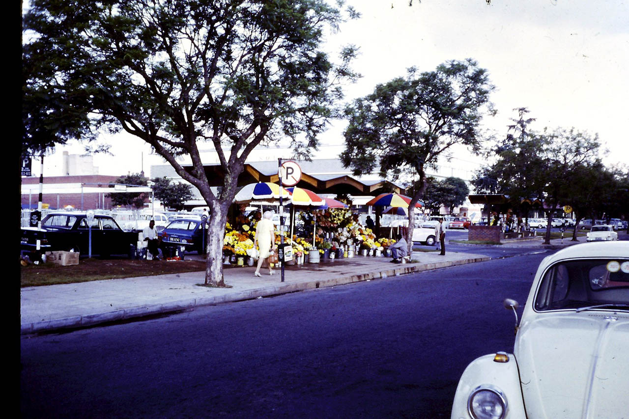
Cradock Avenue | Cradock Avenue tells a story of commerce and change. Informal curio trading expanded in the early 1990s, followed by the development of the African Curio Market and changes to the street layout.
Keyes, Sturdee and Bath avenues | These streets connect Rosebank’s early schools and institutions with its evolving residential, retail and public-space networks.
Cradock Avenue, 1970s. Image supplied by Marc Latilla
From tracks to trains
The movement has shaped Rosebank since before its formal establishment. Early routes and wagon tracks gave way to trams, roads, buses and minibus taxis. Sogot’s Corner was associated with the tram terminus, while the Rosebank taxi rank, developed in 1998, reinforced the area’s role as a transport interchange.
The opening of Rosebank Gautrain Station on 2 August 2011 marked another turning point. Rapid rail connected the neighbourhood more directly to the wider metropolitan region and supported a new phase of mixed-use development. Across these changes, access and movement have remained central to Rosebank’s growth.
Rosebank Gautrain Station. Image by the Rosebank Management District
Buildings and architecture through the decades
Rosebank’s built environment reflects successive phases of growth: early residential and institutional buildings, 1930s civic infrastructure, mid-century architectural experimentation, commercial redevelopment in the 1970s and 1990s, and contemporary higher-density mixed-use precincts. The Fire Station, Telephone Exchange and Broadlands provide tangible examples of these layers.
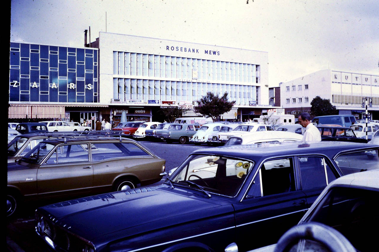
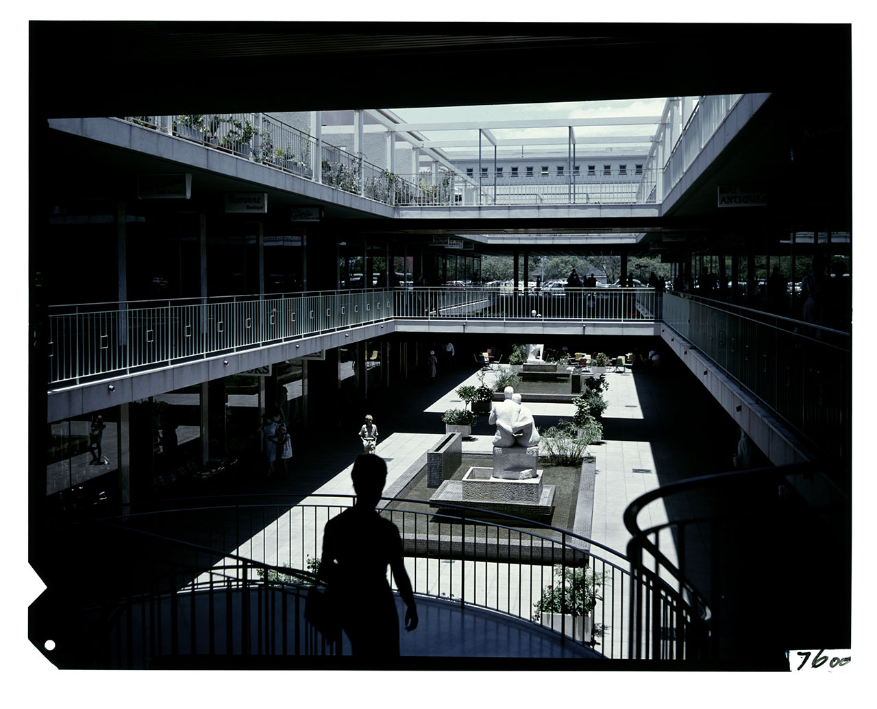
Rosebank Mews, 1970s. Image supplied by Marc Latilla
Places that shaped the neighbourhood
Schools and institutions established a sense of community in early Rosebank. Rosebank Primary School opened in 1906; St Teresa’s School and local religious institutions became part of the area’s social fabric. Retail and hospitality followed a changing city: Sogot’s Corner, Thrupps, The Firs, the original Rosebank Hotel, Tyrwhitt Avenue, the African Curio Market and The Zone each reflect a different phase of Rosebank’s commercial life.
Public spaces and precinct management have also influenced the neighbourhood’s character. The pedestrianisation of Tyrwhitt Avenue, the establishment of the management districts and later investment in wayfinding and the public realm demonstrate a continuing focus on the experience of moving through Rosebank.
DESIGN / CONTENT SLOT | Image grouping: historic street scenes; tram/transport imagery; architectural details; markets and retail; present-day pedestrian streets.
DESIGN / CONTENT SLOT | Related website link: Getting Around; Discover Rosebank; district placemaking / precinct management (use existing site URL / final navigation label).
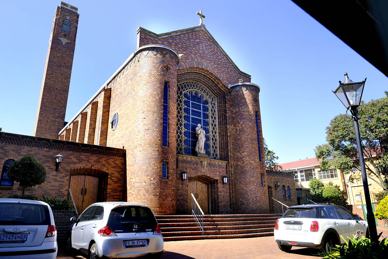
Rosebank Catholic Church. Image supplied by the Rosebank Management District
St Teresa’s School, 2021. Image supplied by the Rosebank Management District
Rosebank Heritage Gallery
Explore Rosebank through photographs, historical maps and archival material that document how its streets, buildings and public spaces have changed. From early residential scenes to the neighbourhood of today, the gallery brings different chapters of Rosebank’s history together in one visual collection.
Gallery categories: Historic Rosebank; Heritage Landmarks; Streets Through the Years; Transport & Commerce; Rosebank Then & Now.
Rosebank Mews, 1970s. Image supplied by Marc Latilla
Firestation, 1976. Image supplied by Marc Litilla.
The Firs, 1978. Image by Laurence Hughes
Rosebank Mutual. Image supplied by Marc Latilla
Share Your Rosebank Story
Do you have an old photograph of Rosebank, a memory of a familiar landmark or a record of how the neighbourhood once looked? Help preserve Rosebank’s history by sharing photographs, documents and recollections that add to the story of the area. Selected contributions may be considered for the Rosebank Heritage Gallery or future heritage features, subject to verification and permission to publish.